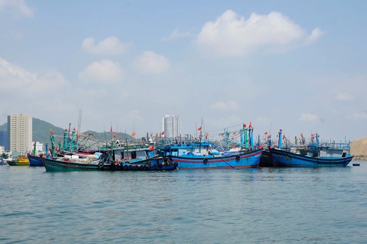
Dak Lak Province has banned all fishing and offshore activities from November 26 until the Typhoon Koto dissipates.
Koto was at level 12 with gusts at level 15 in the early hours of November 27, according to the National Centre for Hydro-Meteorological Forecasting. At 4 am, it was about 190km east of Song Tu Tay Island with maximum sustained winds of 118 to 133km per hour.
Forecasters said the storm would move west-northwest at around 15km per hour over the next 24 hours. By early November 28, it is expected to be over the western waters of the central East Sea at level 12 and gusting level 15, shifting mainly west-southwest at 5 to 10km per hour with signs of weakening.
Between November 29 and 30, Koto is forecast to slow to about 5km per hour, move west-northwest and weaken to level 10 with gusts at level 13.
The central East Sea will see winds at level 7 to 9, increasing to level 10 to 12 near the centre, with waves of 4 to 6 metres and up to 9 metres close to the storm’s core. The area will experience very rough seas. Authorities warned that vessels in dangerous zones face risks from thunderstorms, squalls, strong winds and high waves.
Japan’s meteorological agency said Koto was at its strongest with winds of about 126km per hour and would maintain this through the evening of November 28. Hong Kong forecasters estimated peak winds of around 120km per hour, weakening to 105km per hour as it moves north.
Two possible scenarios
Hoang Phuc Lam, deputy director of the national forecasting centre, said that from November 28, Koto will slow to 5 to 10km per hour and may persist until early December. Cold air will begin weakening the storm from the afternoon of November 29.
When it is about 500km from the coast of Gia Lai to Khanh Hoa, there is an 80 per cent chance Koto will turn north, weaken into a tropical depression and then a low-pressure area before drifting toward the central provinces.
In the second scenario, with a 20 per cent likelihood, the storm continues directly toward Gia Lai to Khanh Hoa. Its strongest intensity over the northern waters of the Truong Sa area could reach level 11 with gusts at level 13 before weakening to level 8 or a tropical depression near land.
Under both scenarios, coastal areas from Danang City to Lam Dong will have rain from November 29 although rainfall is not expected to be as extreme as mid-November.
On November 26, the National Civil Defence Steering Committee ordered provinces from Quang Tri to Lam Dong to closely monitor the storm, alert vessels to its path and dangerous areas, and prepare rescue forces.
Dak Lak banned all fishing and offshore activities from 6 am November 26 until the storm dissipates.


