The event offers a good opportunity for scientists to announce their latest research and application results, share cooperation experiences towards the sustainable development of GIS in Vietnam aiming to keep pace with the level of global development in this field.
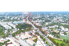
The country has successfully developed remote sensing and GIS applications in analyzing changes in land use in Phu Vang district, central Thua Thien Hue province, remote sensing applications on building flash flooding maps in Binh Dinh province and GIS applications in managing and providing transport infrastructure information.

