
Can Tho's hydrometeorological agency said the tide peaked at 1.76 metres on September 9, four centimetres below the first warning level, while the Hau River continued to rise rapidly.
Water levels are forecast to rise sharply from September 10 to 13, with the peak expected to reach about two metres at 7 am on September 13, equivalent to the third and highest warning level.
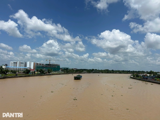
Levels are expected to ease after September 13 but remain high.
At the third warning level, deep flooding could hit Binh Thuy, while low-lying areas and locations outside dykes may also face localised flooding, disrupting travel, daily life and production.
In Vinh Long, high tides combined with upstream floodwaters are forecast to inundate low-lying and riverside areas from September 9 to 16.
Water levels are expected to rise rapidly on September 9-10, continue climbing over the following two days and then gradually recede, with the highest tides forecast between September 12 and 14.
At My Thuan station, the tide could reach 1.9 metres, about 10 centimetres above the third warning level. Levels at Cho Lach and Tra Vinh are forecast at around 1.8 metres, close to the second warning level.
Flooding could affect low-lying areas along the Tien, Ham Luong, Co Chien, Mang Thit and Hau rivers, as well as islets, riverside areas and locations outside dykes.
Several roads in Thanh Duc, Phuoc Hau, Long Chau and Tan Ngai wards, as well as Nguyen Hue and 3 Thang 2 streets, are also at risk.
Floodwaters are forecast to reach depths of five to 20 centimetres through September 16, with the deepest flooding expected from September 12 to 14.