
The chairman of the Can Tho City People's Committee has declared an emergency over the risk of dangerous riverbank erosion along the O Mon River in O Mon Ward.
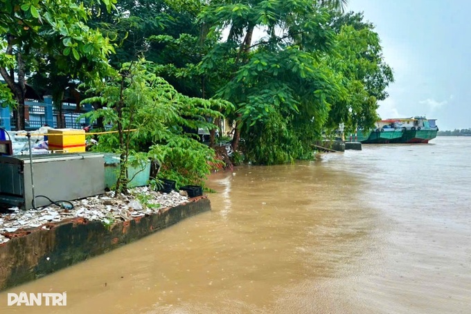
A section of the riverbank that has collapsed (Photo: Thanh An).
The affected riverbank stretches for about 1,220 metres alongside a rural road. Erosion has progressed close to the road in several areas, damaging homes and disrupting residents' daily activities and travel.
According to assessments by Can Tho authorities, the erosion could also affect several public facilities, including a ferry terminal, a pagoda and a school.
Authorities initially attributed the erosion to heavy boat traffic on the O Mon River. Large vessels travelling at high speeds generate waves that repeatedly strike the riverbank. Combined with relatively strong currents, the waves erode the bank, dislodge and carry away sediment and create undercut sections that eventually collapse.
River currents, deep sections of the riverbed and steep banks in several areas are also contributing to the risk.
Numerous cracks, subsidence and deformation of the riverbank are continuing to appear, indicating that the soil along the river remains unstable.
The Can Tho Department of Agriculture and Environment has been instructed to regularly update authorities on the development of the erosion and progress in addressing it, while working with relevant agencies to review and propose solutions.
Local authorities have been ordered to install warning signs and issue urgent notices so residents in at-risk areas can take precautions and prepare to protect their property.
They must also be ready with personnel, equipment and vehicles to assist residents with evacuation and emergency response if conditions worsen.